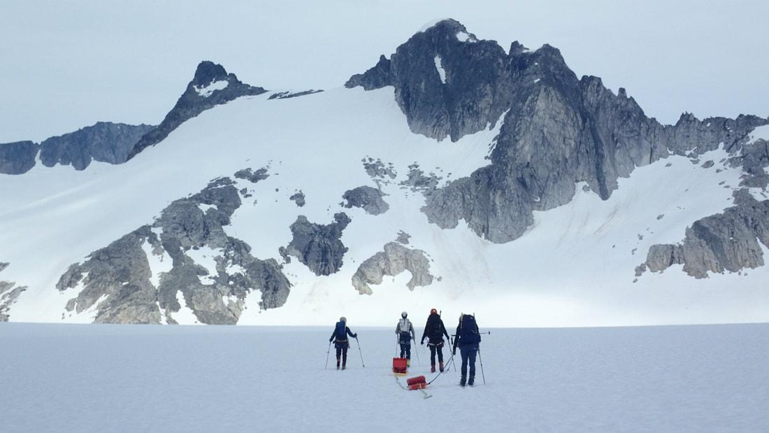
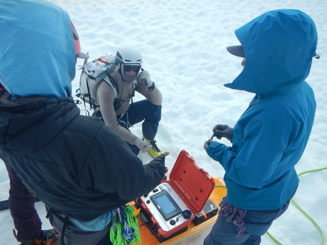
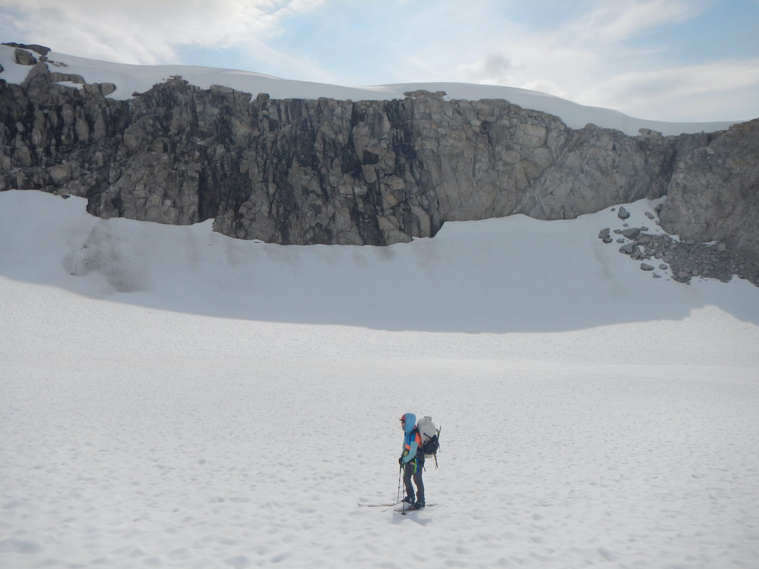
Measuring Ice Depth of Echo Basin and North Basin We used a 10 MHz Ice-penetrating radar to measure ice depths and map bed topography across two different basins on the Juneau Icefield. These in situ measurements are compared with modeled glacier thickness maps of the ice field to provide tuning metrics for more accurate estimates of basal topography of the Taku Glacier. Research was conducted along with students as part of the Juneau Icefield Research Program (JIRP).
Fieldwork in Alaska has been conducted on the native lands of indigenous peoples. The Juneau Icefield is part of the traditional land of the Tlingit people.