DENALI 2022
|
To address these questions, we completed a two-part field season:
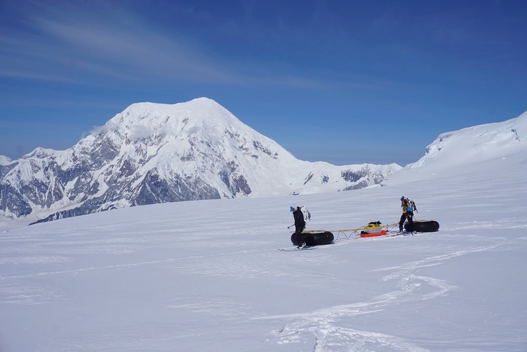
Part 1: Kahiltna Glacier Radar Survey Climbing up the west buttress route of Denali to 11,200ft, we collected snow surface samples to evaluate the relationship between elevation and isotope signal change. On the way down, we collected a Ground-penetrating radar survey to measure and compare firn thickness with a transect completed a decade prior. These measurements will help us to evaluate how the Kahiltna may be reacting in response to changing climate. Part 2: Begguya Geophysics Survey and Firn Core Extraction We spent over two weeks on the Begguya plateau, collected transects of 10MHz, 400MHz, and 900MHz ice-penetrating radar data to evaluate basal topography, firn thickness, and crevasse features across the plateau. These measurements will be integrated into a numerical model to improve characterization depth-age scale of ice at depth. We also collected several measurements with the Autonomous Phase Sensitive Radar to calculate englacial deformation of the icepack. Finally, we extracted two 18-m firn cores to assess the impact of the COVID-era on atmospheric aerosols and bring the climate record to present. |

|
Field work in Denali National Park would not have been possible without the support of Denali National Park Rangers and Talkeetna Air Taxi. Funding for this project was provided by the Sturgis Exploration Fund, the American Alpine Club, University of Maine Graduate Student Government, Maine Space Grants, and NOLS.
|
Fieldwork in Alaska has been conducted on the native lands of indigenous peoples. Landuse in Denali National Park occurs on territories traditionally belonging to the Dena’ina, Koyukon, Upper Kuskowin, Ahtna, and Tanana peoples. The Juneau Icefield is part of the traditional land of the Tlingit people.
