DENALI 2023
|
To address these questions, we completed a two-part field season:
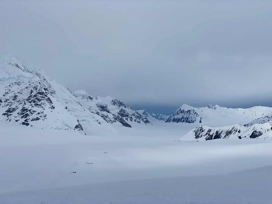
Part 1: Kahiltna Glacier Radar Survey Climbing up the west buttress route of Denali to 11,200ft, we collected a Ground-penetrating radar survey to measure and compare firn thickness with a transect completed the year prior. These measurements will help us to evaluate how the Kahiltna may be reacting in response to changing climate. Part 2: Begguya Geophysics Survey We collected a high-resolution geophysical survey using the ApRES in an effort to characterize the stratigraphy at depth at the drilling site of the Denali ice core. ApRES measurements were collected at 10 cm intervals across a 150 m domain. Data will be processed with SAR techniques. |

|
Field work in Denali National Park would not have been possible without the support of Denali National Park Rangers and Talkeetna Air Taxi. Funding for this project was provided by the Dan and Betty Churchill Exploration Fund, the Cold Regions Research and Engineering Laboratory, the NOLS Rothberg-Birdwhistell Exploration Fund, and the Phi Kappa Phi Graduate Research Grant.
|
Fieldwork in Alaska has been conducted on the native lands of indigenous peoples. Landuse in Denali National Park occurs on territories traditionally belonging to the Dena’ina, Koyukon, Upper Kuskowin, Ahtna, and Tanana peoples.
